Your face list says it stands. Does it?

Billboard Mapping is early access to a yearly count of billboards and large-format structures across a market, each with a location and the side it can be read from. Check your plant against the imagery before the next audit, or see what a competitor has put up on a corridor you sell against.

GSD
VHR / ≤0.5 m
Cadence
Annual
Platform
VHR satellite / aerial
Spectral
RGB
An empty billboard frame on two steel posts standing above a line of low hills
Stock photograph of an empty bulletin structure. Scenery, not output from the service.

The drive that happens once a year

Somewhere in your inventory database is a record for a bulletin on the edge of town that came down when the road was widened. Nobody told the database. The record keeps its panel ID, its format and its place on the availability sheet until someone driving the corridor with the list notices a gap in the skyline. Multiply that by every lease that lapsed, every face that moved, every structure that went up on a parcel you never heard about.

So the inventory analyst plans a windshield survey. A truck, a tablet with the face list, a route cut by market and by road, and a couple of people who would rather be doing something else. It works. It is also slow, it depends on the weather, and it only sees what is visible from the road you happened to take. The same drive is how you find out what a competitor built on the other side of the interchange, and it is the only way you get a first look at a market you are weighing, short of a trip nobody has budgeted.

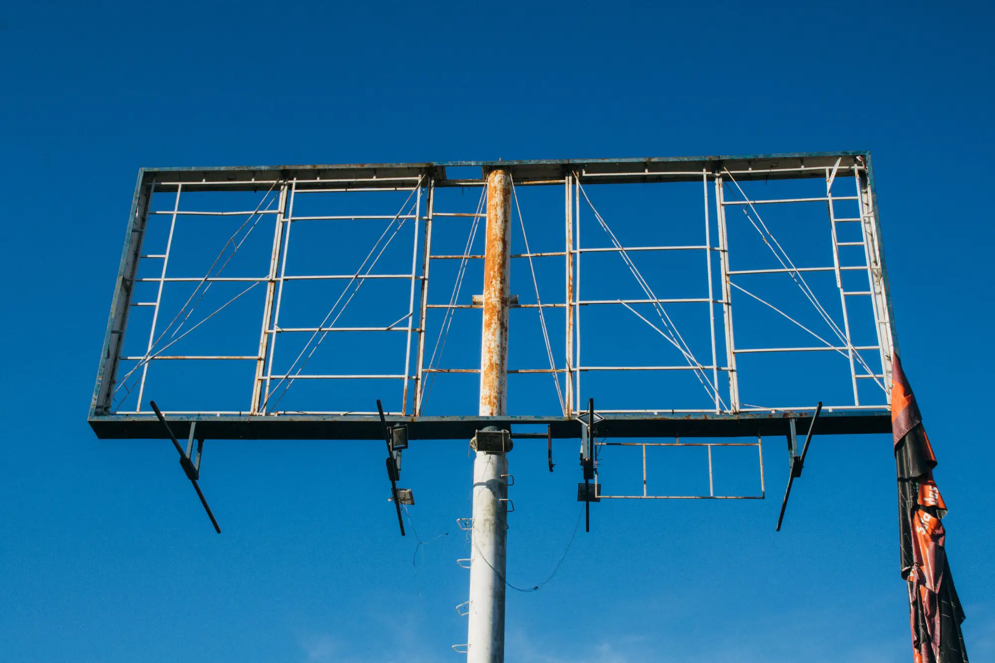
A rusted billboard structure on a single pole with its face stripped down to the steel grid
A structure stripped to its frame. Stock photograph, shown for the kind of change a face list misses.

Billboard Mapping does not replace that drive. It gives you a second list, built from imagery over the whole market at once, to lay against your own before you send anyone out. Where the two agree, you have less to check. Where they disagree, you know which roads to drive first.

What the early-access layer holds

Early participants get one annual pass over their market, delivered ahead of any general release. This is a first look at a new kind of layer.

  1. 2.1GeoJSON

    Detected-face layer

    One point per detected face, with its location, its orientation and a flag for the side a driver approaches from. It opens in whatever GIS or mapping tool you already use. Load it next to your own face list and the gaps show up as points with no record, and records with no point.

  2. 2.2CSV

    Count by area

    Detected faces totaled by the areas you choose, such as counties or the markets you sell by. It is the number to hold against what your database says you own, and the number to look at when you are sizing up a market you do not operate in yet.

  3. 2.3CSV

    Cross-check file

    The detected faces in a layout you can join to your own inventory export. You supply your panel IDs and coordinates; the file flags detected faces with no match nearby, and listed faces with no detection nearby. A short list of places to go and look, in place of a whole market to drive.

How it works

  1. Step 1

    Send your market

    A boundary, a list of counties or a corridor. If you want the cross-check, send an export of your face list with coordinates.

  2. Step 2

    We source the imagery

    Very-high-resolution imagery over the market, taken from satellite or aerial passes for the annual run.

  3. Step 3

    Detection finds the structures

    Object detection locates large-format structures and estimates which way each face points and from which side it is approached.

  4. Step 4

    The layer comes back

    You get the face layer, the count by area and, if you sent your list, the cross-check file. Someone from our side walks you through it the first time.

Where it fits

Three uses, and only one of them is in the annual cycle for most media owners.

The inventory audit is the obvious one: a sanity check on your own plant before the drive, so the drive goes to the places the imagery disagrees with the list.

Competitive scouting is the second. You see faces you do not own, market wide, without sending a crew down every corridor.

The third is a first look at sight lines in a market you are thinking of entering, before anyone makes a site visit.

Read these before you send a market

  1. Early access, not a finished product

    Coverage and detection reliability are still being proven. We will not quote you a detection rate, and you should not plan around one. Smaller and obscured faces may be missed.

  2. Resolution sets what it can see

    Imagery at 0.5 m a pixel or finer suits large bulletins. Posters and other small formats are at the edge of what it can resolve, and a structure behind trees or a building may not show at all.

  3. Orientation is an estimate

    Which way a face points, and which side is approached, comes from the shape and shadow of the structure seen from above. It is a rough read, and it can be wrong on structures with an unusual layout. It does not tell you whether a face is actually legible from the road.

  4. Annual, so a year behind

    A structure put up or taken down after the imagery was taken will not be reflected until the next pass. The layer is a yearly snapshot and never a live inventory.

  5. What it does not know

    Ownership, booking status, advertiser and whether a face is lit or digital all sit outside the imagery. There are no audience figures, no traffic counts and no impressions in this layer.

Who it's for

Early access suits

  • Inventory analysts and real estate teams at out-of-home media owners who keep a face list and audit it.
  • Teams who want a competitive or new-market first look before committing a survey crew.

Not what this is

  • A replacement for the physical audit. Imagery tells you where to look; it does not close out a record.
  • A source of audience, traffic or impression data.
  • A way to find out who owns or has booked a face.

Questions before you sign up

Does it tell me who owns or has booked a face?

No. It reports location, orientation and approach side for each detected structure and nothing about ownership, advertiser or booking.

Is this a finished product?

No. It is early access. Coverage and detection reliability are still being proven.

Can it estimate impressions or traffic counts?

No. That needs separate data this service does not provide.

How small a face can it find?

Resolution is 0.5 m a pixel or finer. Large bulletins are the target. Small formats and faces hidden behind trees or buildings may be missed, and we will tell you what we could not resolve in your market.

How current is it?

Annual. A face built or removed after the imagery date may lag a year behind.

Can I check it against my own inventory database?

Yes, that is the point of the cross-check file. Send your panel IDs and coordinates and we flag the disagreements. Treat each one as something to verify on the ground.

Which systems does the output open in?

GeoJSON for GIS and mapping tools, and CSV for spreadsheets and databases. There is no direct integration with inventory software.

Who owns the layer, and can I share it?

What you can do with the files, and the licence on the imagery behind them, gets written into the early-access agreement before the work starts.

What does early access cost?

Pricing is agreed with each early-access participant. There is no price on this page.

Tell us which market you want checked.

Send a county list or a corridor, and say whether you want to audit your own plant or scout someone else's. We will tell you honestly what the imagery can and cannot show there.

Request early access