Field notes: the stretch of I-70 where every face was two feet off
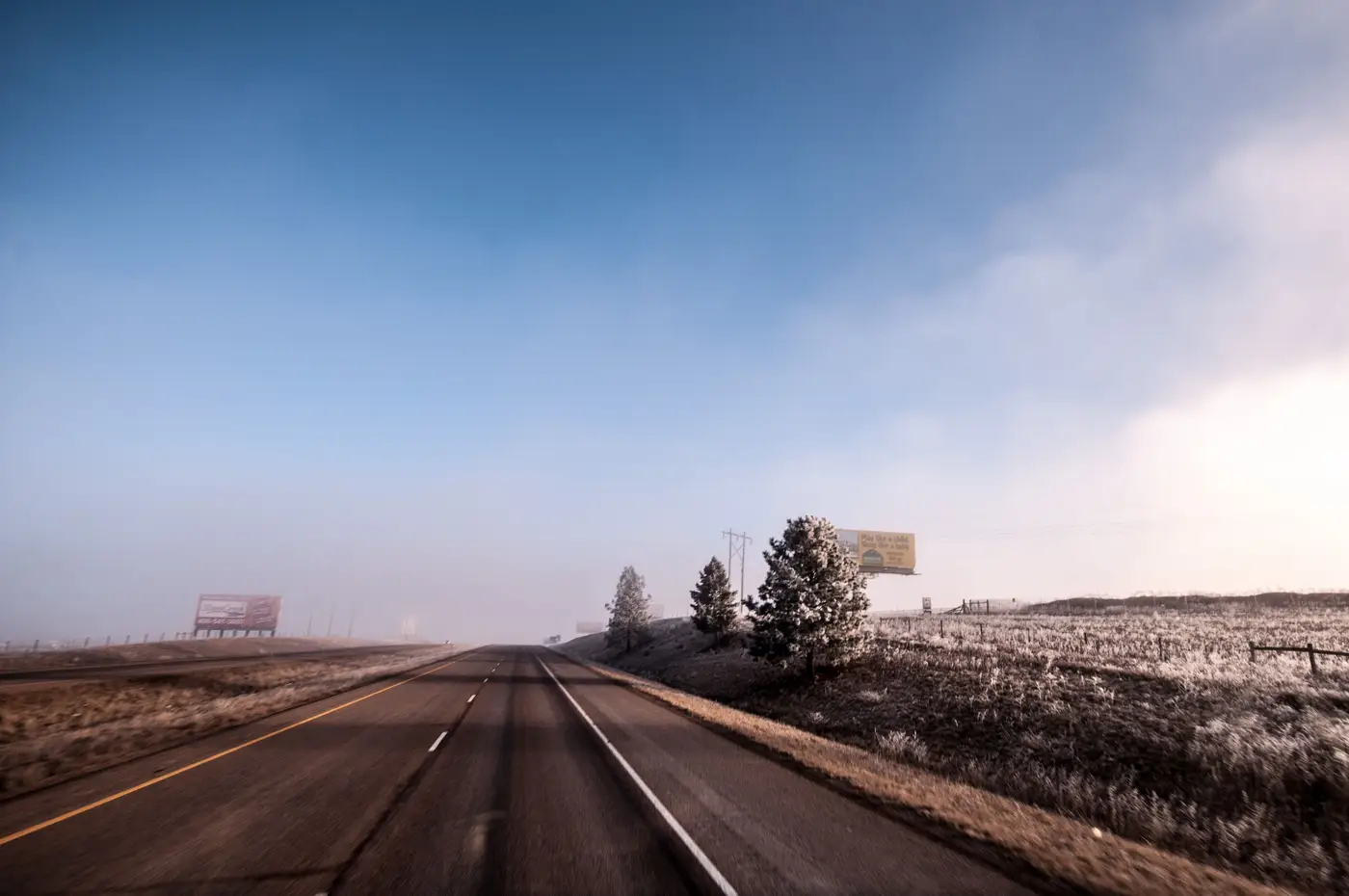
Forty-one miles, one afternoon, a dash-mounted camera that overheated twice. That was the plan for re-walking a corridor we hadn't physically checked since a predecessor built the layer four years back. Almost every bearing and setback in the GIS file was off by about two feet from what was standing on the right-of-way, structure after structure, the same small error repeating down the corridor.
Two feet doesn't sound like much until you're trying to defend a lease renewal or argue a permit violation with the DOT district office. A structure logged at 14 feet off the fog line that sits at 16 feet changes which setback ordinance applies. A face recorded facing 270 degrees that's canted at 265 changes your approach-visibility math for the next quarter mile of eastbound traffic. None of it shows up on a spreadsheet pull. All of it shows up when someone parks on the shoulder with a tape measure, or in our case, a laser rangefinder and a lot of patience with the hazards flashing.
The pattern, once we started looking for it, clustered instead of scattering at random. A run of nine structures built by the same crew in the same construction season were all off in the same direction, like the whole batch had been staked from a benchmark that was itself slightly wrong. Somebody's total station was calibrated against a reference point that moved, or a GPS unit threw a consistent offset that nobody caught because the structures still looked right standing next to each other. The original survey was internally consistent and externally wrong, the kind of error that stays invisible until you check it against something outside the dataset.
This is the part of the job nobody puts on a conference slide. Everybody talks about lease files and renewal dates and digital versus static mix. Almost nobody talks about the fact that the geometry underneath all of it, the thing every setback calculation and competitor overlap study assumes is solid ground, is usually a permit application filed years ago, maybe amended once, never field-verified against the structure as it sits today. Permits get filed before construction. Construction sometimes deviates from the permit by a few feet for reasons nobody writes down: a utility easement nobody flagged, a grading change, a crew that eyeballed it close enough. The permit map shows what someone intended to build; what went into the ground can drift from that by a few feet, and nobody circles back to log it.
For a windshield survey crew, catching this means driving the whole stretch, which is exactly the cost that keeps most portfolios from getting checked more than once every few years. You can't send someone out to re-survey two hundred miles of frontage road every time you want to sanity-check a layer. So the drift accumulates structure by structure, unnoticed for years, until a competitor's lease dispute or a DOT re-permitting cycle forces someone to go measure the real thing, and the gap between what's on file and what's on the ground turns out bigger than anyone budgeted for.
What would have saved the afternoon is an independent read on where structures actually sit, pulled from overhead imagery instead of inherited from whatever survey happened to get filed. That's the problem Billboard Mapping is built around: an early-access inventory layer built off VHR imagery that gives you location, orientation, and rough approach visibility for detected faces across a region, something to check your own records against before you load up the truck.
If your corridor hasn't been physically walked in a while, it's worth getting on the list before the next permit dispute makes you do it the hard way.