Estimating billboard read distance from satellite imagery
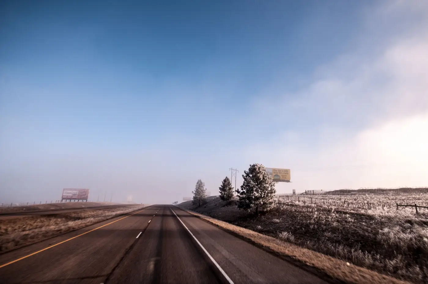
Legibility distance is the one number every leasing conversation eventually comes back to. A landlord wants to know how far out their face reads. A buyer wants to know if the copy clears before the driver's attention moves to the merge lane ahead. You can get close to an answer without putting a truck on the road, if you know what the imagery can and can't tell you.
What actually sets read distance
Four things determine how far a driver can read a face: copy size, face orientation relative to the roadway, the angle of approach, and whatever sits between the panel and the lane. Copy size is usually known from your own spec sheet, standard bulletin or poster dimensions don't change face to face. The other three are where a windshield survey earns its keep, and where VHR imagery can do a surprising amount of the same work from a desk.
The industry rule of thumb for legibility, roughly ten feet of read distance per inch of letter height, assumes the sign is square to traffic and nothing's blocking it. Most real faces aren't square to traffic. A panel angled 15 to 20 degrees off a straight approach reads differently than one facing a driver head-on. That's an orientation question imagery answers cleanly: measuring the face's bearing against the road centerline from a single overhead capture gives you a real, repeatable angle.
Pulling approach visibility from the imagery itself
Start with orientation. Draw a line along the roadway's direction of travel at the point where a driver would first have a sightline to the panel, then measure the angle between that line and the face. Faces closer to perpendicular to the approach read longer; faces angled sharply away lose legibility distance fast, even with identical copy size.
Next, check what's upstream of the face along that sightline, tree canopy, an overpass, a building setback, a curve in the road that puts the panel behind the driver's shoulder until the last few hundred feet. VHR imagery shows canopy cover and structure footprints well enough to flag an obstruction between the panel and the approach lane. It won't tell you canopy height, and it won't catch a billboard that's six feet behind a new retaining wall built since the last capture date. Treat it as a first pass: does the approach look clear, or is there something worth a closer look before you quote a number to a client.
Setback from the road matters too, and it's one of the easier things to pull from overhead imagery since you're measuring a straight-line distance rather than inferring an angle. Combine setback with face orientation and you've got the two inputs a legibility estimate needs, without the obstruction question still open.
Where imagery estimates stop and fieldwork starts
None of this replaces a driver going out and actually reading the copy from a moving vehicle. Imagery gives you orientation, approach angle, rough setback, and a flag for obvious obstructions across every face in a market at once, which is exactly the part a windshield survey is slow at. What it can't give you is lighting at dusk, seasonal leaf-out on that tree line, or the exact moment a driver's eye catches the panel versus the exit sign next to it. Use the desk pass to sort your inventory into faces worth a field visit and faces that clearly aren't, and save the truck time for the ones that need it.
For an analyst auditing their own book or scouting a competitor's faces across a whole DMA, that sorting step is most of the time cost. Billboard Mapping is building an early-access inventory layer that detects faces, orientation and approach visibility from VHR imagery across a region, so you can run that first pass on hundreds of panels before deciding which ones are worth the drive.
If sorting your inventory by approach visibility before a field audit sounds useful, get on the waitlist for your region.